February 2026

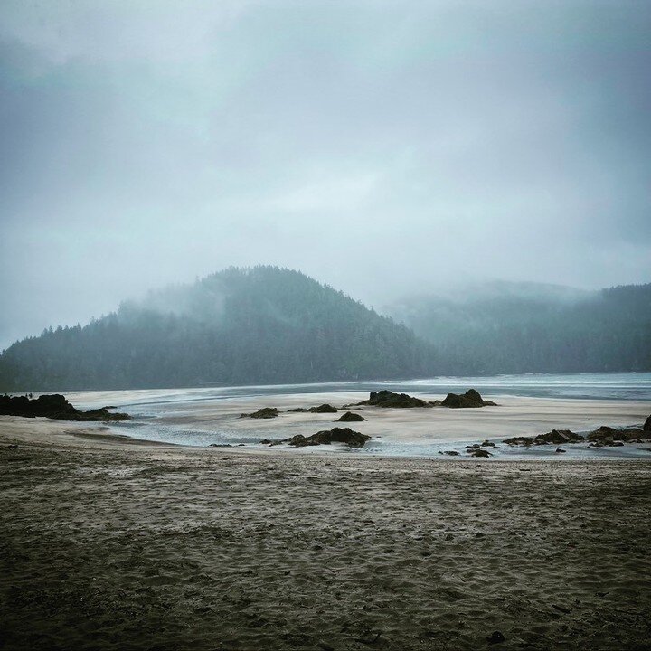
Alice Lake Loop Near Port Alice, BC: Visit Devil’s Bath and Eternal Fountain

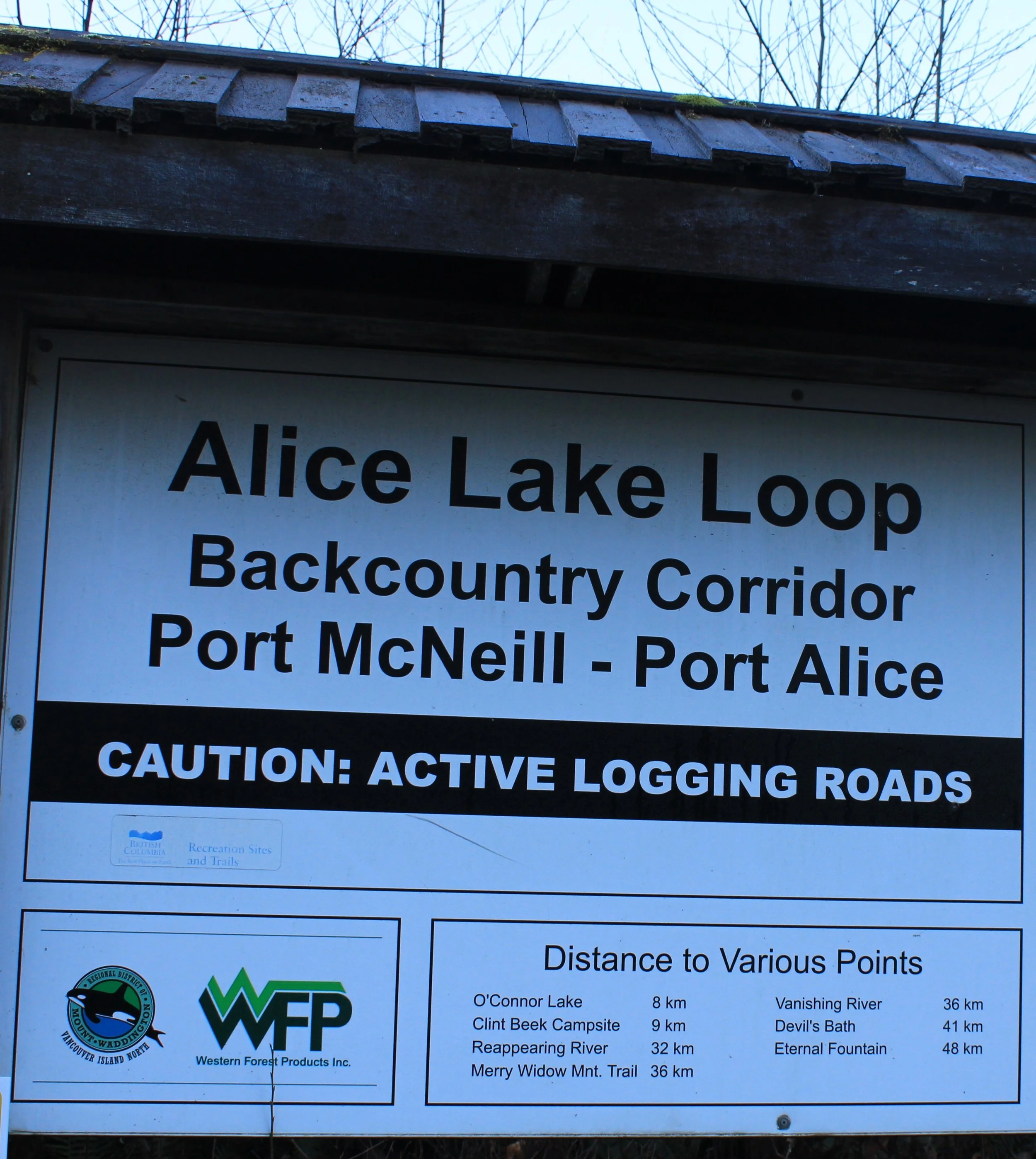
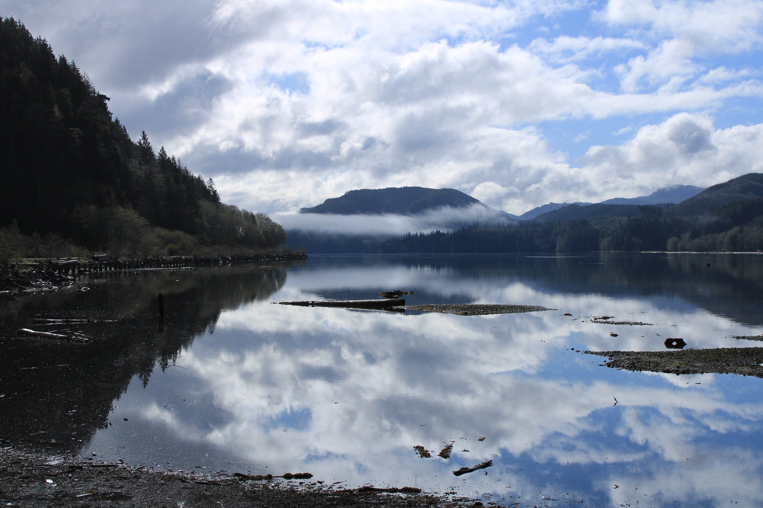
The Alice Lake Loop is one of the most unique backcountry drives on northern Vancouver Island. Located just outside Port Alice, this remote forestry road loop takes visitors through limestone karst terrain, rainforest valleys, and rare geological features including Devil's Bath, Eternal Fountain, Link River, and Vanishing River. Lakes along the Alice Lake Loop: Alice Lake, Victoria Lake, Kathline Lake, Keogh Lake, and the Benson River. Plan on 4-6 hours for the entire loop

If you’re searching for:

  • “Devil’s Bath near Port Alice”

  • “Alice Lake Loop directions”

  • “Things to do in Port Alice BC”

  • “North Vancouver Island tours”

    Where Is the Alice Lake Loop?

    The Alice Lake Loop is located southwest of Port Alice on northern Vancouver Island, approximately:

    • 1 hour from Port Hardy

    • 45 minutes from Port McNeill

    • 3.5–4 hours north of Nanaimo

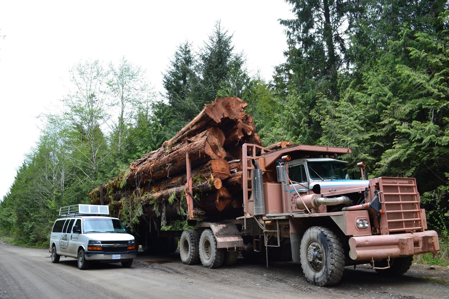
      The route consists of active and decommissioned logging roads, with limited signage and no cell service.

      Because road conditions change frequently, local knowledge is essential.


Devil’s Bath: A Must-See Near Port Alice

One of the most searched natural attractions near Port Alice is Devil’s Bath.

This massive flooded limestone sinkhole is:

  • Approximately 44 metres deep

  • One of the largest cenotes in Canada

  • Part of the island’s karst cave system

There is a viewing platform, but the area is remote and undeveloped.

Standing at the viewing platform, you’re looking into a rare geological phenomenon — something most visitors to Vancouver Island never experience.

Visitors frequently underestimate:

  • Road conditions

  • Navigation challenges

  • Industrial logging traffic
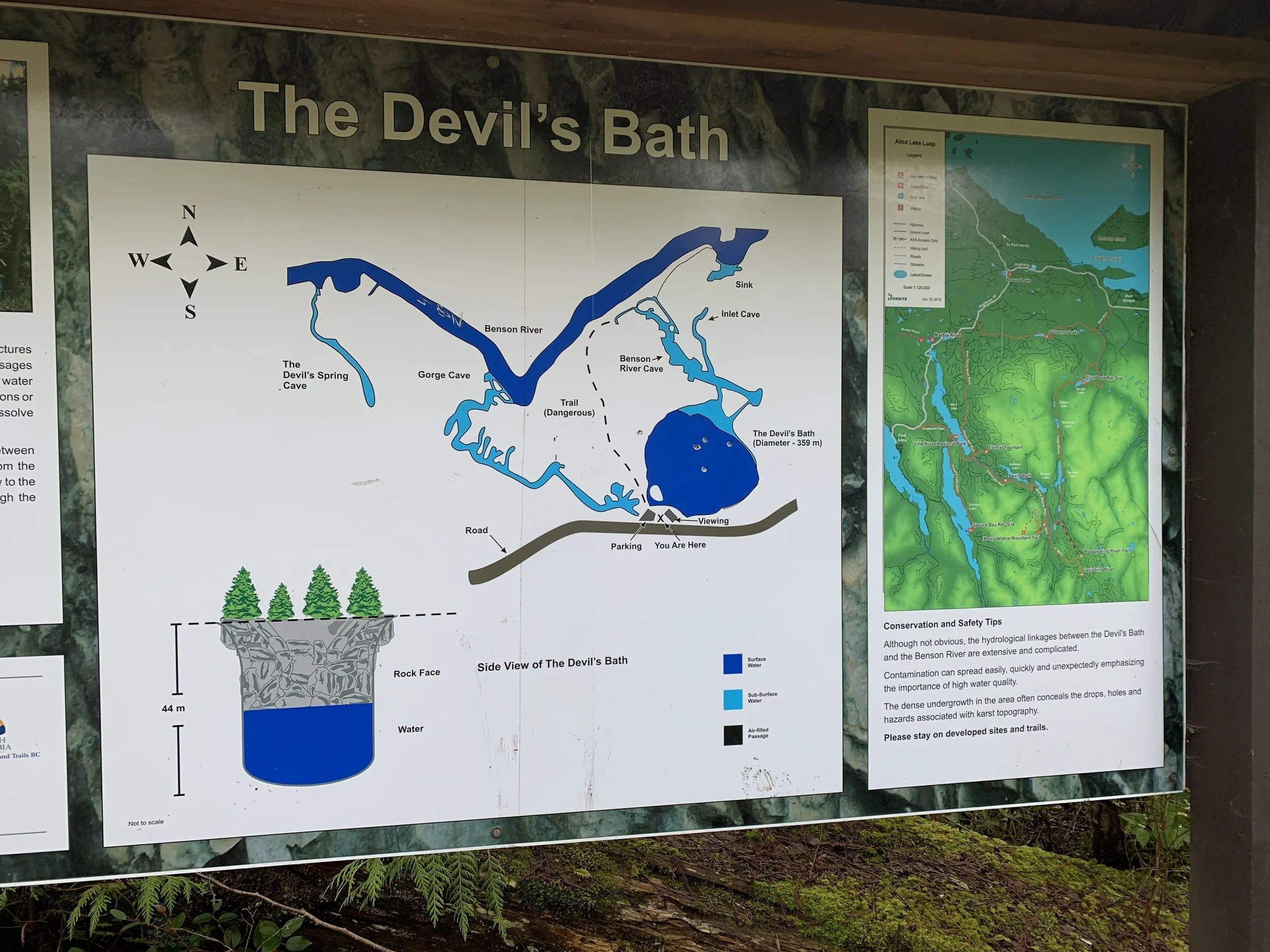
Map of Devil’s Bath

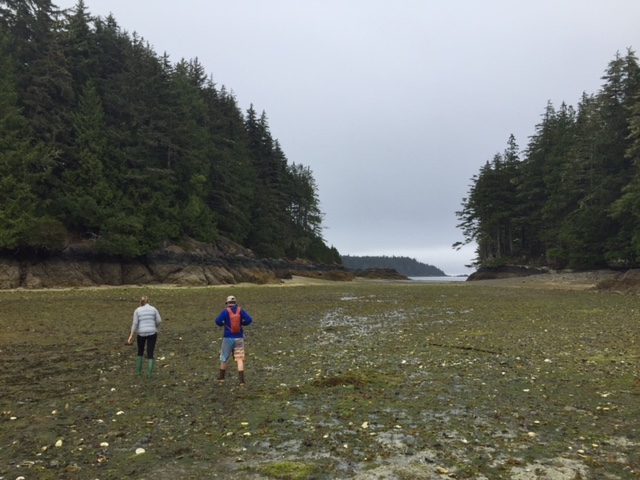
Link River Recreation Site

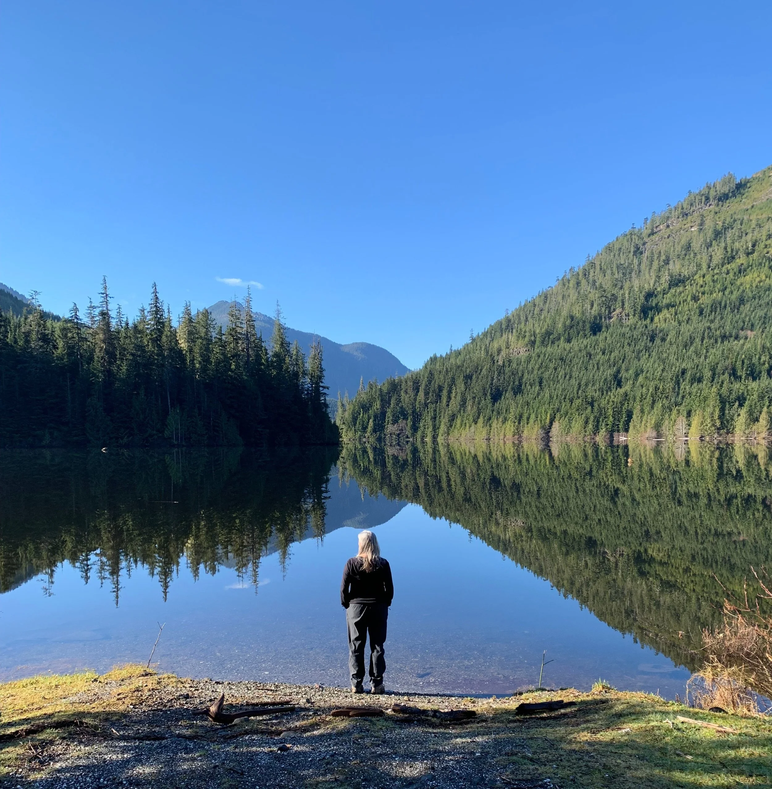
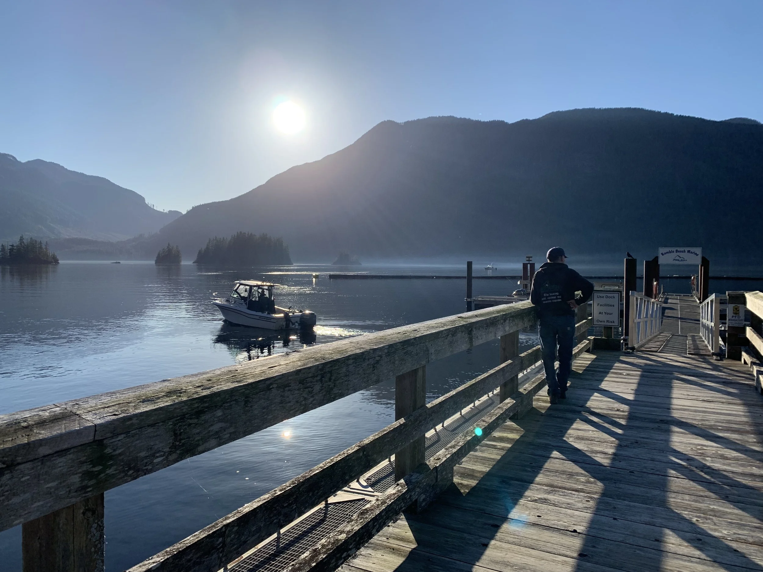
From Port Alice, Link River rec site is your first stop. It is a beautiful camp ground with a boat launch 3/4 of the way down Alice Lake. Alice Lake is great for SUP and Kayaking. Rentals are available at gonorthisland.ca

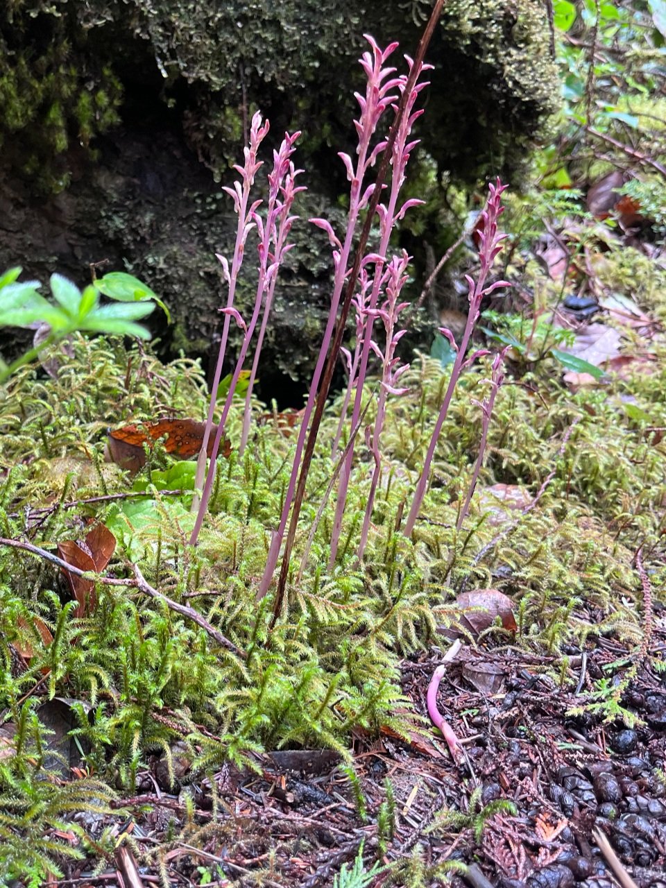
From Link River, travel about 15 min along the lake to the Eternal Fountain

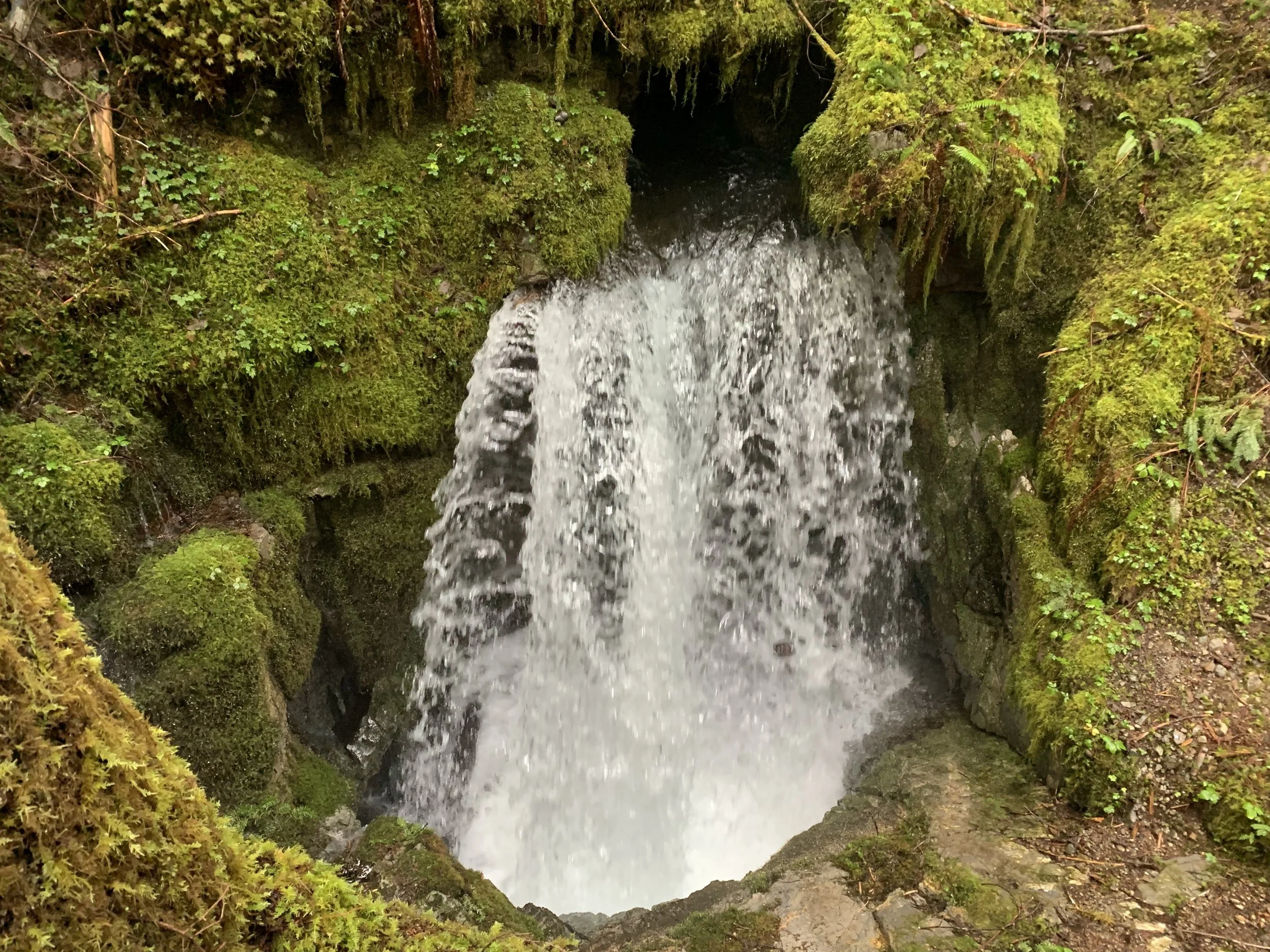
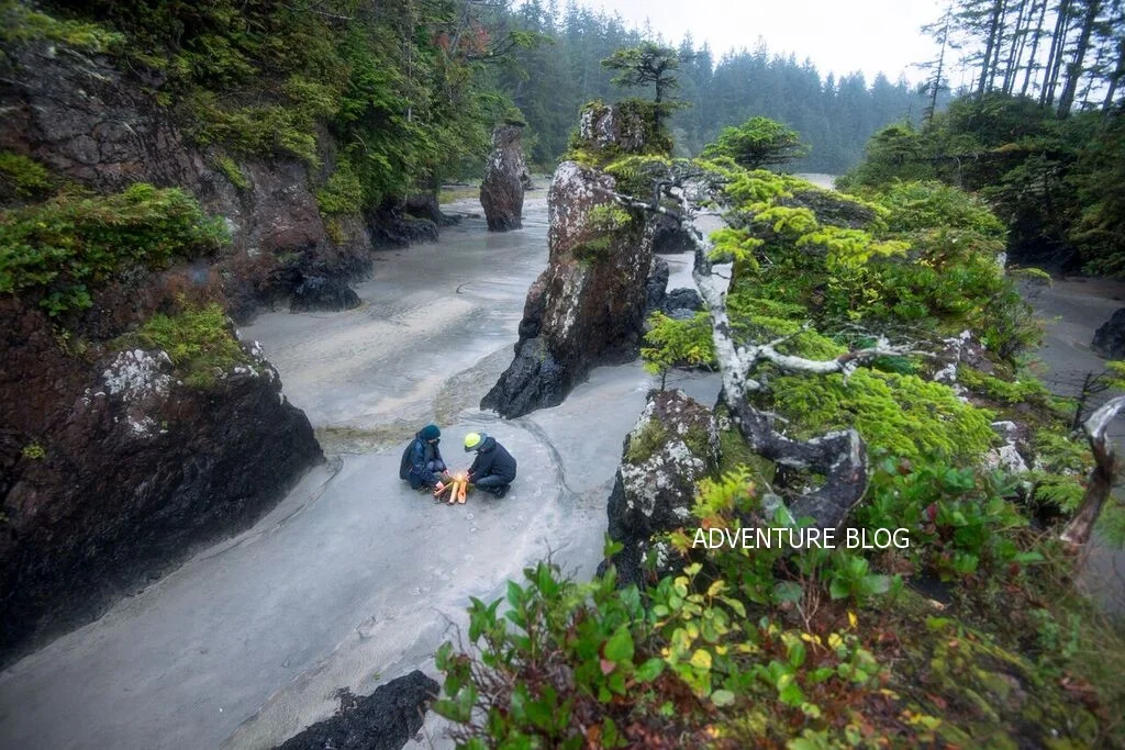
One of the falls at Eternal Fountain

Eternal Fountain

A Quiet Island Secret

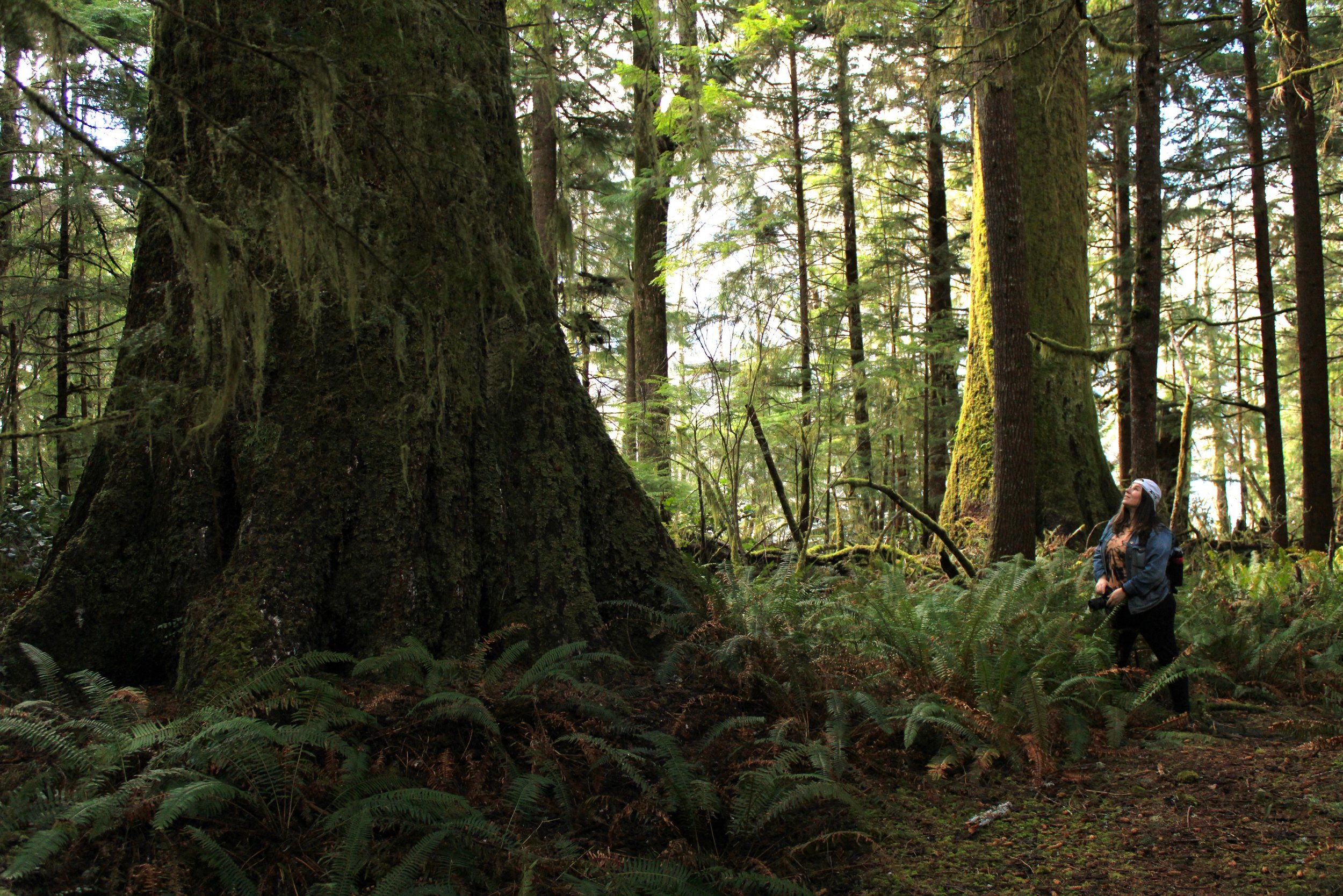
The Eternal Fountain isn’t dramatic or crowded. It doesn’t roar or tower. Instead, it invites you to slow down and look closer — to notice how water shapes the land in subtle, powerful ways.

The Eternal Fountain sits within a karst system — a type of landscape formed where slightly acidic rainwater dissolves rock such as limestone or marble. Over millennia, this process creates underground drainage networks, caves, sinkholes, and disappearing streams.

Northern Vancouver Island’s karst is part of the ancient Quatsino limestone formations, notable for their complex subterranean pathways carved by water. This same geology gives rise to other nearby features such as the Devil’s Bath cenote (a flooded sinkhole) and the Vanishing/Reappearing River system.

At Eternal Fountain, water that once flowed on the surface has been captured below ground. It travels through fractured rock and caverns before resurfacing in a small yet continuous cascade, revealing the dynamic interplay between surface water and underground hydrology.

It’s a reminder that on northern Vancouver Island, some of the most memorable experiences aren’t found on highways — they’re discovered on the forest roads less traveled.

An Easy Forest Stop with Big Impact

One of the best parts? The Eternal Fountain is accessible.

A short 300–400 meter forest trail leads from a roadside pullout to viewing platforms and boardwalks overlooking the cascade. Interpretive signage along the way highlights nearby sinkholes and karst features. In total, it’s about a 1km trail around the different features and signage.

The walk is easy and family-friendly, yet the setting feels wonderfully remote — moss-covered trees, filtered light through old-growth canopy, and the soft sound of moving water. Plan on one hour!

Important: The Alice Lake Loop Is Remote Backcountry

Before you go, know this:

  • Gravel logging roads

  • Active industrial traffic

  • No cell service

  • Limited signage

  • Changing road conditions

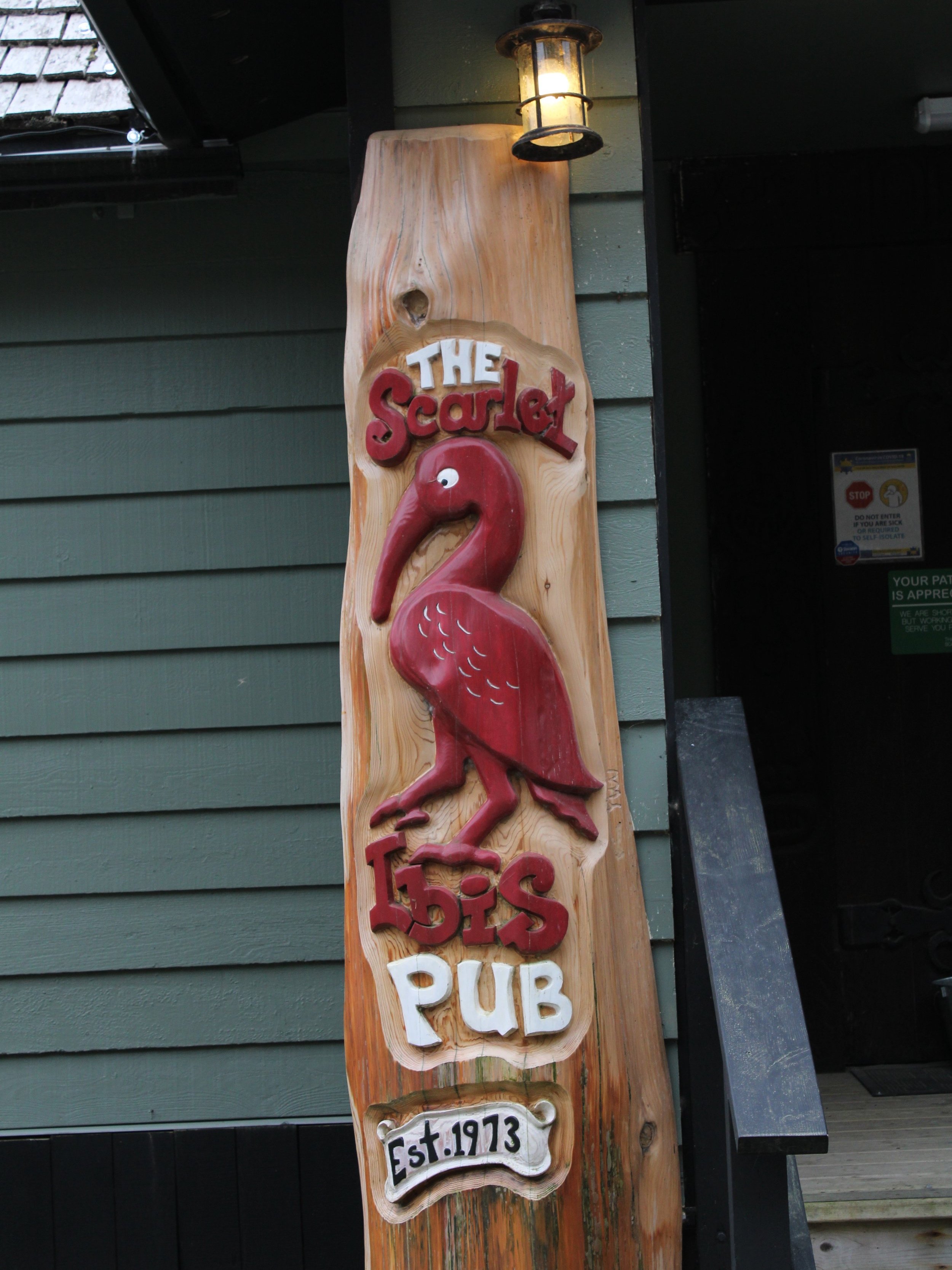
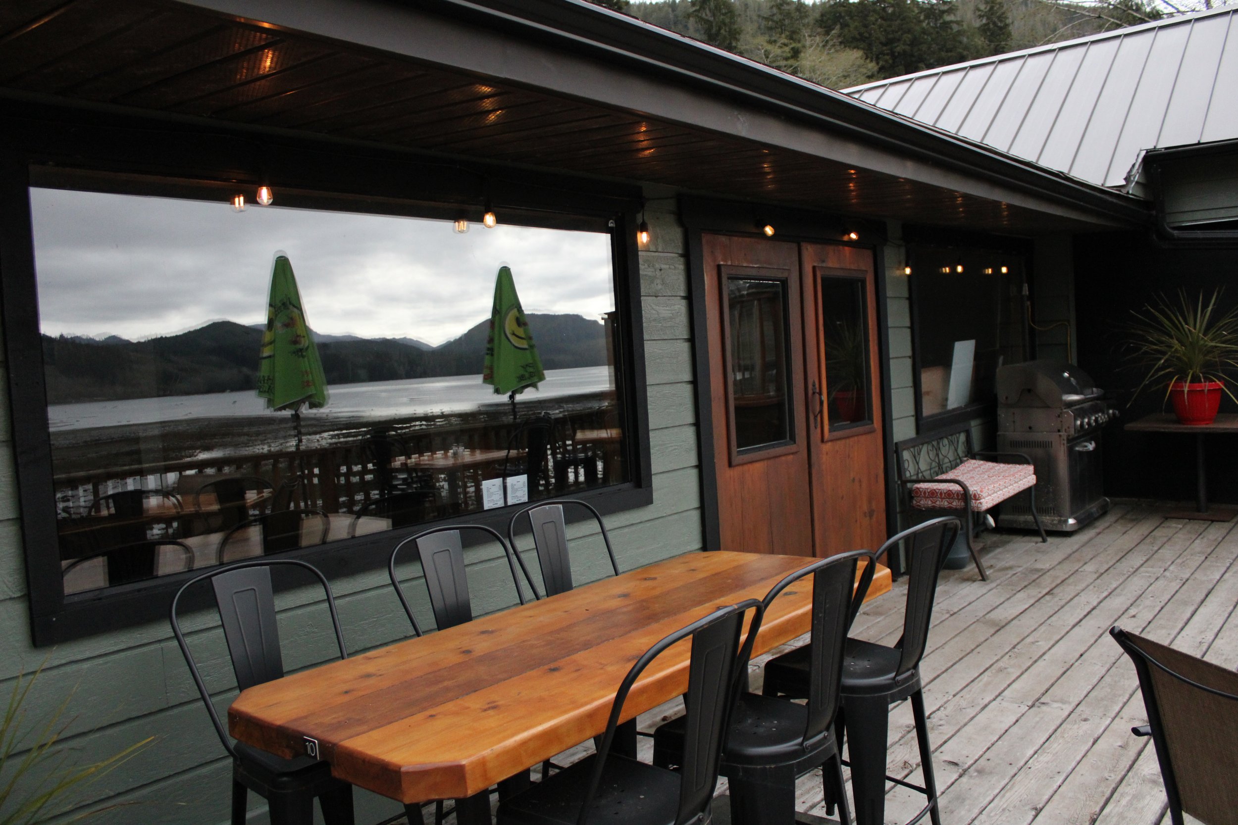
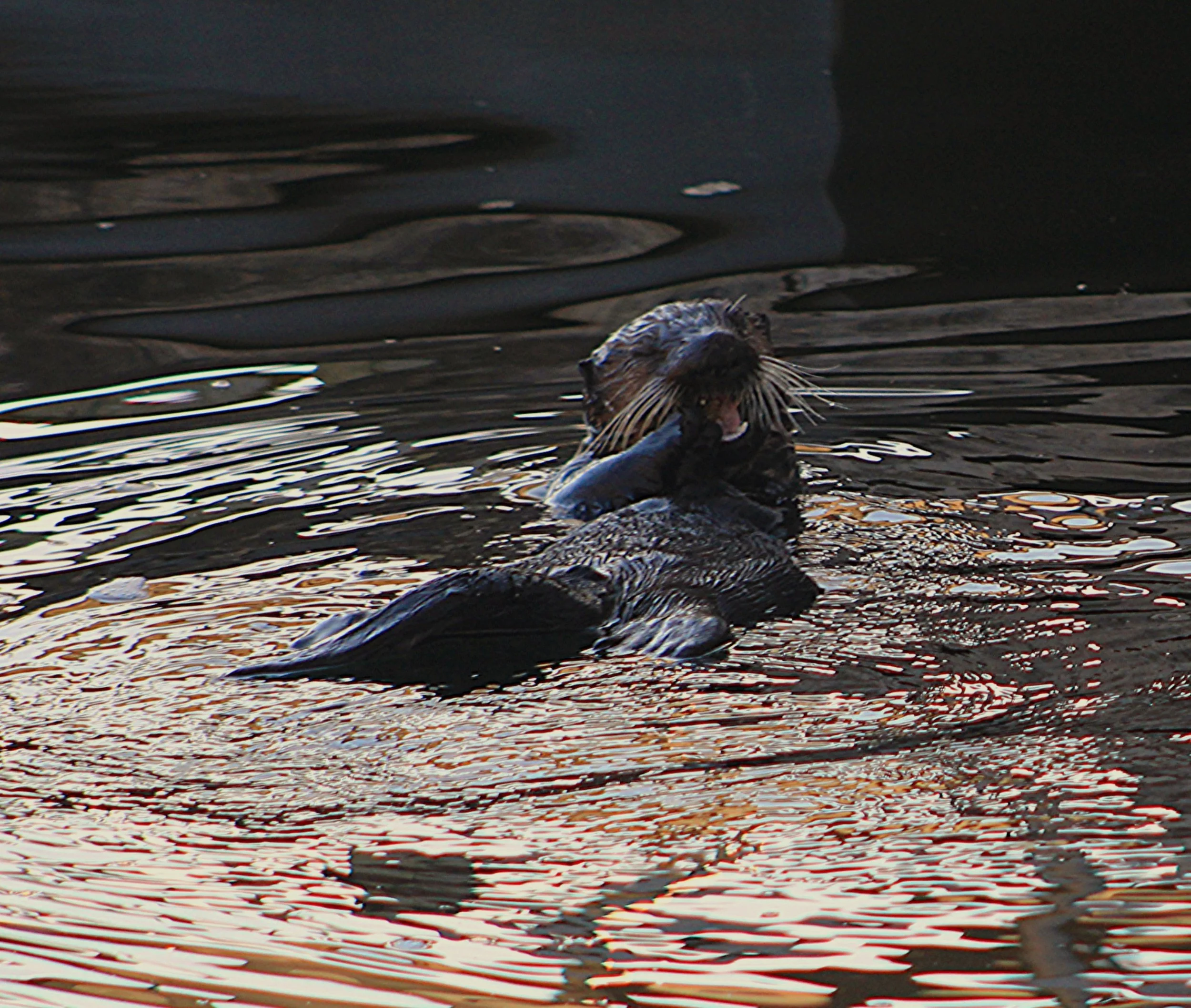
We always finish the day in Por Alice, where you can grab a coffee at Foggy Mountain coffee shop or enjoy lunch at Mc Wilkies Food Truck located at the marina.  While there, we often see the resident sea otter floating among the docks, happily snacking on fresh clams.

Experience the Alice Lake Loop the Right Way

Instead of navigating logging roads and hoping you find the hidden turnoffs, book a custom guided adventure with Cove Adventure Tours.

May 2025

Vancouver Island Trail: An Island-Spanning Wilderness Trek


The Vancouver Island Trail, a relatively obscure gem, stretches an impressive 800 kilometers from Oak Bay in Victoria to the rugged beauty of Cape Scott at the northernmost tip of Vancouver Island. This ambitious undertaking was brought to life through the vision of Gil Parker and the tireless efforts of numerous volunteers over many years. The sheer length and challenging terrain mean that few individuals have successfully traversed the entire route. For those daunted by the prospect of an end-to-end expedition carrying all necessary supplies, exploring a segment of this remarkable trail offers a more accessible way to experience its diverse landscapes.


Exploring the Northern Section: Suquash to Keogh River


A recent exploration focused on the section of the Vancouver Island Trail extending from Suquash to the Keogh River, situated in the northern part of the island. The journey began by navigating past the historic Suquash Mine site, continuing along a significantly overgrown logging road for approximately four kilometers until reaching the designated trail marker. While the official trail alignment incorporates this logging road, the decision was made to drive as far as feasible. This proved to be an adventurous endeavor, as the extremely narrow and vegetation-encroached road tested the limits of the vehicle, best suited for older, less cherished models. The resulting scratches served as a testament to the wildness of the terrain. The logging road ultimately terminated abruptly in a recently clear-cut area, offering no convenient space to turn around. It was here, atop a fallen log, that a Vancouver Island Trail sign clearly indicated the entrance to a substantial and inviting forest.


The trail itself meanders along the coastline, remaining just within the tree line. This strategic positioning provides hikers with captivating ocean vistas, complemented by the majestic mainland mountains visible in the distance. The path also winds through a beautiful forest characterized by the presence of some impressive old-growth trees. Despite the relatively level and undemanding nature of this section (especially without the burden of a full backpacking load), progress was considerably slowed by extensive blowdown resulting from recent winter storms. Negotiating the numerous fallen trees and debris proved to be physically taxing. Consequently, the decision was made to turn back at a creek located just south of the Keogh River. The return journey to the vehicles followed the coastline along the beach, where abundant signs of wildlife were evident in the form of numerous wolf tracks forming a veritable highway in the sand, along with frequent scat deposits. Several smaller trails were observed leading from the beach back up to connect with the main Vancouver Island Trail.


Maintenance and Future Prospects

The stewardship of the Vancouver Island Trail is incumbent upon the diligent efforts of volunteers. Due to the substantial resources demanded for the upkeep of such an extensive trail system, coupled with the recent effects of severe wind damage, the clearance of this specific section may be subject to a protracted timeline. Notwithstanding, upon the completion of necessary maintenance operations, this segment is poised to offer an exceptionally scenic and gratifying environment for pedestrian traversal and further exploratory endeavors, thereby presenting a synthesis of littoral vistas and sylvan interiors.


Picking Season

October 2024

HIKING & PICKING 

SEASON


Photo by June Hale

Winter is almost upon us but that doesn’t mean outdoor activities need to end.  There’s plenty to do rain or shine, just make sure you are prepared! Here are some suggestions:

  • Backroads Map or another App that works offline

  • Weather report

  • Satellite Messenger

  • Rain Gear (Gore-Tex is the best)

  • Dry Clothes

  • Extra Spare Tire

  • Always have a check in time with someone in cell service


Photo by June Hale

There are many small and beautiful hikes around the North Island.  Good ways to find these hikes is through the Backroads Map Book, you can download it to your phone or go the old fashioned route and buy a paper copy at most gas stations.  All Trails is also a good resource.  

Photo by June Hale

Road conditions change very quickly especially in the winter and roads can become blocked by fallen trees, slides and washouts.  Trails can also become treacherous in high winds so avoid going out on days with big winds. 

See the latest road report HERE.


Make sure you dress for the weather, dress in layers,  have good rain gear, and have a spare change of clothes in your vehicle.  A satellite communication device is a great idea and there’s many to choose from.  

Photo by June Hale

Another great activity in the fall is foraging. The berries were very abundant this year with Salmon Berries (a spring berry), Salal, Black berries, Huckleberries and in the alpine blue Huckleberries to name a few.  

This year is also a bumper crop for mushrooms, there are so many Chantelles, Lobster and Bolete (Porcini) mushrooms and they are still multiplying!  Everyone has their “secret” picking spots so just poke your head in the forest and see what you can find! 

My favorite picking guide is “All that Rain Promises and More” by David Arora.  It’s small enough to take with you and full of great information.


“And they say, Life is an adventure

   Full of mystery,   So let’s go”

Athey Thompson


Don’t forget to follow us on Facebook and Instagram @coveadventuretours


May...Here and Gone!

SAN JO MAY 2024

Adventures’ Calling

We wrapped up another month of tours and were fortunate to experience perfect weather! Throughout our excursions, we had 10 bear sightings, mostly along the logging roads. However, a few were spotted feeding across the river, and we even found some tracks on the beach. Remember to use the bear caches located at the trailhead of the beach for everyone's safety.

Additionally, three new washrooms have been installed at the beach, each constructed from 100% recyclable materials that can be recycled again at the end of their lifespan. These eco-friendly toilets operate on a unique conveyor system: to ensure the "waste" moves down into the holding tank, you need to pump the pedal ten times—yes, ten times! Remember, please do not leave any garbage in the washrooms. Cape Scott Park does not have garbage collection services, so be sure to pack out everything you pack in.


Don't miss the ever-changing and blooming wonders along the trail. One such rare gem is the Coralroot Orchid, a true marvel. In our seven years of conducting tours, we've only encountered it three times.


Road conditions remain largely unchanged since our last Cape Scott Road Report, so be sure to review it before your trip. The beach continues to be spectacular, whether rain or shine, and there are some excellent low tides coming up in June. For the best views of sea creatures, explore around the rocks on the ocean side of the sea stacks.

Don't forget to stop by the Scarlet Ibis in Holberg for a beverage and a meal—they're now open seven days a week, and Thursday night is Steak Night!


BEACH RENTALS COMING SOON!!


Welcome to The Most Remote Pub on Vancouver Island!

The Scarlet Ibis (est. 1973) is a little piece of history located in beautiful Holberg, which is the gateway to some of the most incredible beaches on Vancouver Island, BC, Canada…

Not only is The Scarlet Ibis a great place to stop to refuel after a long hike, but they’ve now added a place to stay the night. Recently added 6 cozy red cedar ‘Adventure Huts’ which are complete with bunkbeds from Single to Queen, access to on-site amenities such as showers, washrooms, even wifi, and of course the pub’s great menu, beverages, atmosphere and views of Holberg Inlet.

Getting to the Ibis requires driving 40 kms on a logging road so be sure to check out our Cape Scott Road Report for the current road conditions. (BACK ROAD TIP: Logging trucks have the right of way - so move on over!)
We hope you’ll explore The Scarlet Ibis next time you stop by this end of the Island.

P.S. If you’re unfamiliar with the area, or not comfortable to take your vehicle along the dirt roads, don’t worry, Cove Adventure Tours offers custom tours, and we can do the driving for you!

Learn More about Cove Adventure Custom Tours Here.

The cure for anything is saltwater.

A wavy welcome to 2022! We ‘re missing barefoot walks on the beach and counting down the days until we can dip our toes in the wild Pacific Ocean. Imagine this - you just emerged from an old growth forest and stand on what appears to be the great beyond. You smile, and smell the salt air while the breeze tickles your nose. Trees tower around you as your eyes search the horizon. You pull up your camera and capture a Bald Eagle whilst it glides lazily through the air scanning the river. The magnificence of San Josef Bay in Cape Scott Provincial Park is yours to discover.

April 15, 2022 is our projected season jump off. Using our Book Now option you can lock in your hiking date and start stretching! If you would prefer something earlier, pass on a message and follow our Instagram page.

North Island Beach Adventures

My Top Three Beach Adventures on Vancouver Island North

Northern Vancouver Island is a treasure trove for off-the-beaten path adventures and outdoor excursions. Packing a lunch, some beach towels and heading to one of the many beaches is a favourite of locals and travellers alike. In this blog post I am going to describe my top three favourite beaches that are accessible from Port Hardy, BC.

Storey’s Beach

Let’s start with the easiest to access, but also my all-time favourite spot in town, Storey’s Beach. Located 10 minutes outside of downtown Port Hardy, 3 minutes from the airport and at one end of the very popular, Commuter Trail, Storey’s Beach has something for everyone. The low tides (which happen twice each day) provide a huge, sandy beach that is perfect for all kinds of activities. At the far end of the beach there is a large rock bluff and beyond that there are amazing tidal pools that are accessible at low tide.

Sunrise at Storey's Beach.

Sunrise at Storey's Beach.

On calm days the bay is perfect for kayaking, canoeing, paddle boarding and launching small boats. I personally live at Storey’s Beach and go there almost everyday in all types of weather & love it no matter what. Build a sandcastle, pack a picnic or roast some smores over a campfire- Storey’s Beach offers something for everyone!

San Josef Bay

Ok, so this is by far my second favourite beach on Vancouver Island North. This beach trip requires a bit more prep and planning, but is so worth it! From Port Hardy the drive to the San Josef Bay & Cape Scott Provincial Park trail head is about 1.5 hours long. Once you turn off the highway the road is gravel (with varying conditions) and has active logging traffic at most times. There is also no cellular service once you hit the gravel road, so it is good practice to always be prepared with plenty of food, water, emergency supplies and at least one, full-sized spare tire. I know many people who have had one, two and even someone who has had three flat tires on this road, so it is always good to be prepared.

An oversize 'fat truck' on the road to Holberg.

An oversize 'fat truck' on the road to Holberg.

One hour into the drive you will travel through the small, logging town of Holberg, BC. You must make sure to stop at the iconic, Scarlet Ibis Pub, for a snack, coffee or lunch and say hi to the always fun and knowledgeable owner, Pat. From here it will be another 30 minute drive to the trailhead. The roads are clearly marked, so just keep your eyes peeled for logging trucks, black bears, black-tailed deer and direction signs.

The sea stacks at San Josef Bay in Cape Scott Provincial Park.

The sea stacks at San Josef Bay in Cape Scott Provincial Park.

The trail into San Josef Bay is an easy 45 minute hike on a well-maintained and flat trail. This hike is amazing and feels like something out of a Jurassic Park movie. Be prepared to see some old-growth Western Red Cedar trees that are somewhere around 800 years old. There are also huge old Sitka Spruce trees and Hemlock trees that intertwine with their cedar friends in hug-like embraces. This landscape shows the full life-cycle of our coastal rain forest and has many nurse logs nourishing and providing homes for their younger counterparts.

A sea cave at San Josef Bay.

A sea cave at San Josef Bay.

At the beach be prepared to be impressed! On the far right side there are sea stacks, sea caves, amazing tidal pools and access to ‘Second Beach’ at low tide (make sure to know the tides before you head over there). On the far left of the beach check out the San Josef River and estuary. Plan on spending at least 2-3 hours at the beach to truly experience all it has to offer. There is also beach camping available at San Josef Bay.

Raft Cove

Raft Cove is a bit more challenging to access, but is so worth it! The trailhead for Raft Cove is about an hour past Holberg, making it around a two hour drive from Port Hardy. This road is also well-marked and and has active logging traffic on it. The hike into the beach takes about 45-60 minutes and is moderate to strenuous at times. During the winter it can also be very muddy and the occasional blown-down tree may be blocking the marked trail.

Beautiful Raft Cove beach.

Beautiful Raft Cove beach.

Arriving at this beach is like walking into a fairytale. The sandy beach is so smooth and pristine and lined with beautiful trees that cover great camping sites. To the far left of the beach is the Mackjack River and beyond that are amazing tidal pools (accessible at low tide) and many more rocky alcoves to explore. In the spring there is also a good chance of spotting Humpback and Grey whales migrating north for the summer.

Colourful tidal pool finds at Raft Cove.

Colourful tidal pool finds at Raft Cove.

Well, there you have it. My tips (and suggestions) for exploring some of the best beaches around. Feel free to contact me with any questions about these places or other North Island adventures!

Stand Up Paddle Boarding at Storey's Beach


We went for an awesome paddle yesterday morning for the ultra low tide. The sky was foggy and the water was glass calm. The .07 ft tide allowed us to see sea cucumbers, anemones, sea stars, moon snails, geoduck clams, dungeness crab, scallops, chiton, bait fish and a sea lion. Contact us to plan a customized stand up paddle board tour of Storey's Beach.